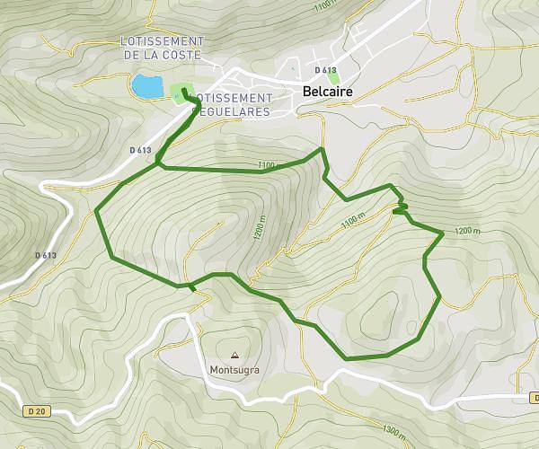
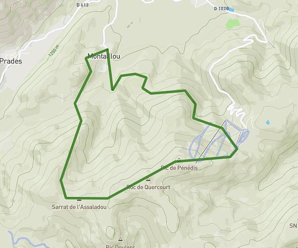
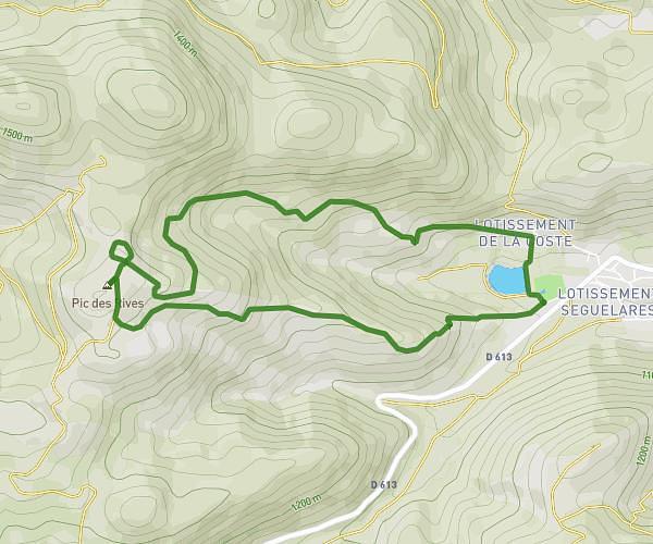
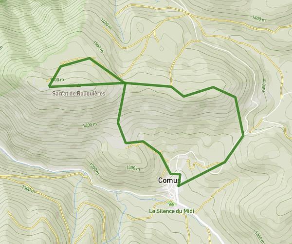
This hiking trail covers 5.555mi starting from Roquefeuil, Aude. The hike is a loop trail and returns to the trailhead. This hike is rated as hard, plan for about 3h to complete it. The route has an elevation gain of 1145ft and an elevation loss of 1145ft.
Roquefeuil, Pic du midi
Route details
1.85mph
Speed
1342 kcal
Calories burned
7.8%
Avg grade
Loop trail
Route type
3058ft
Min altitude
3829ft
Max altitude
Route profile
1145ft
Elevation gain
1145ft
Elevation loss
3058ft
Min altitude
3829ft
Max altitude
How to get there
Trailhead: 70 Grand Rue, 11340 Roquefeuil, France
GPS coordinates of the trailhead: 42.820162, 1.99427 / 42°49'12'' N, 1°59'39'' E