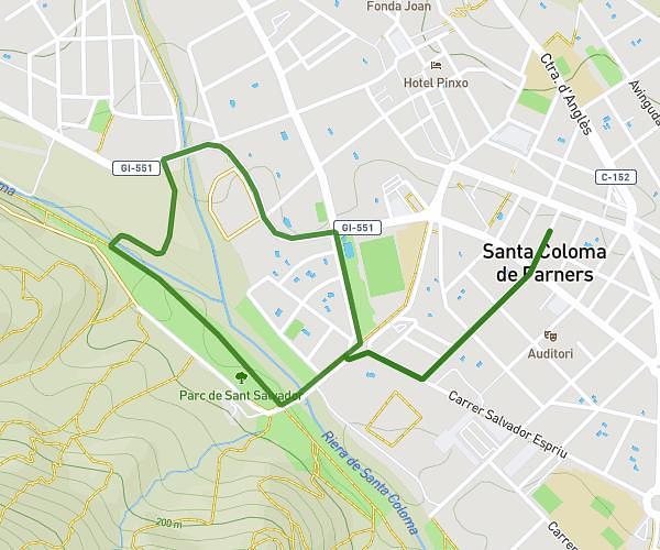
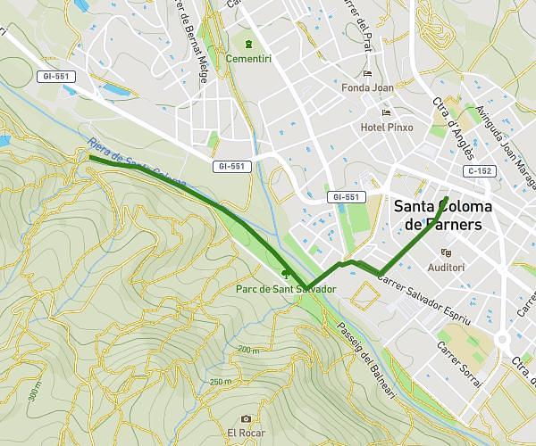
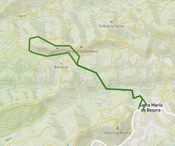
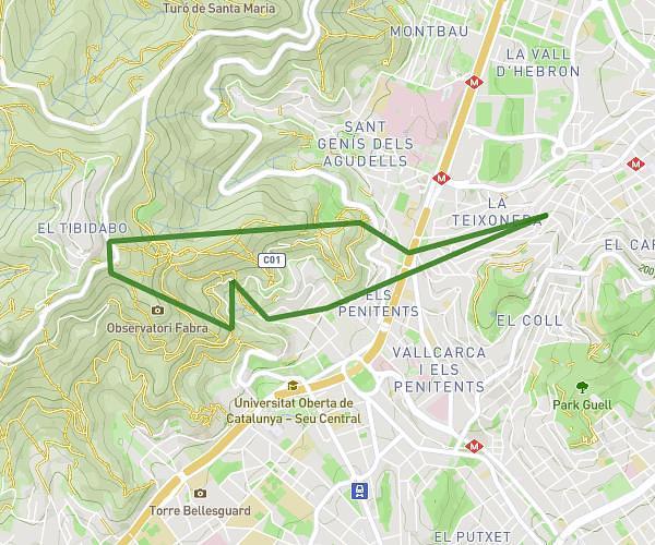
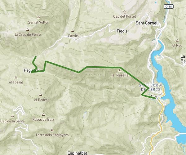
This hiking trail covers 1.314mi starting from Taradell, Barcelona. The hike does not return to the trailhead and ends near Carretera De Vic A Viladrau, 08552 Taradell. This hike is rated as easy, plan for about 42m16s to complete it. The route has an elevation gain of 240ft and an elevation loss of 243ft.
la mansa
Route details
1.86mph
Speed
313 kcal
Calories burned
7.0%
Avg grade
Point to point
Route type
2559ft
Min altitude
2746ft
Max altitude
Route profile
240ft
Elevation gain
243ft
Elevation loss
2559ft
Min altitude
2746ft
Max altitude
How to get there
Trailhead: Carretera De Vic A Viladrau, 08552 Taradell
GPS coordinates of the trailhead: 41.86613, 2.32153 / 41°51'58'' N, 2°19'17'' E