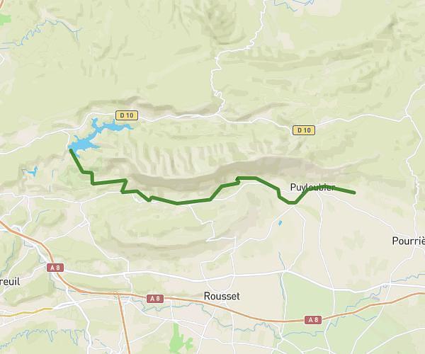
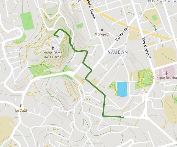
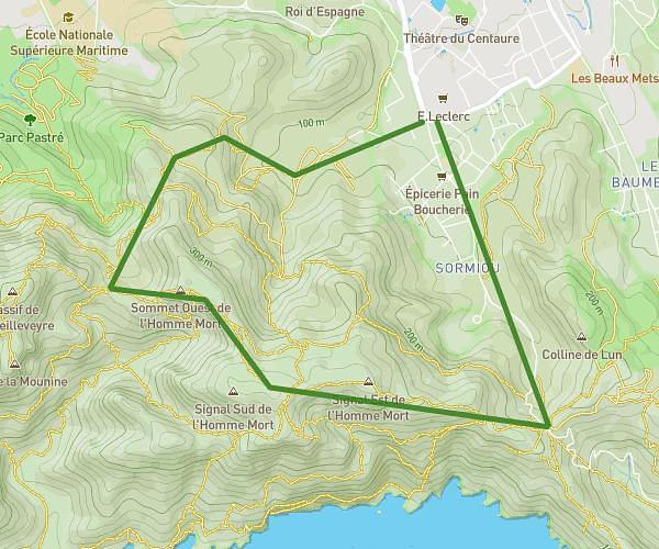
This hiking trail covers 13.497mi starting from Allauch, Bouches-du-Rhône. The hike does not return to the trailhead and ends near 2 Chemin De Garlaban, 13190 Allauch, France. This hike is rated as strenuous, plan for about 3h37m to complete it. The route has an elevation gain of 3264ft and an elevation loss of 3684ft.
rando avec les potos 2
Route details
3.73mph
Speed
1637 kcal
Calories burned
9.8%
Avg grade
Point to point
Route type
712ft
Min altitude
2234ft
Max altitude
Steep climb
Route profile
3264ft
Elevation gain
3684ft
Elevation loss
712ft
Min altitude
2234ft
Max altitude
How to get there
Trailhead: Vallat De Martellène, 13190 Allauch, France
GPS coordinates of the trailhead: 43.32968, 5.50631 / 43°19'46'' N, 5°30'22'' E