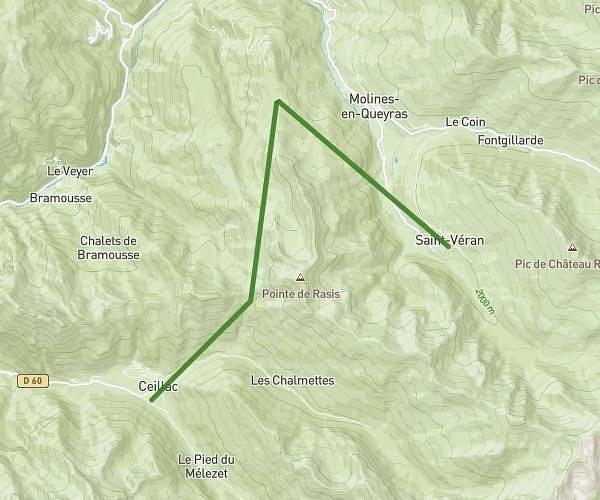
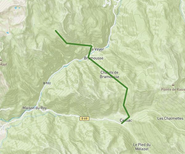
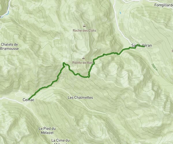
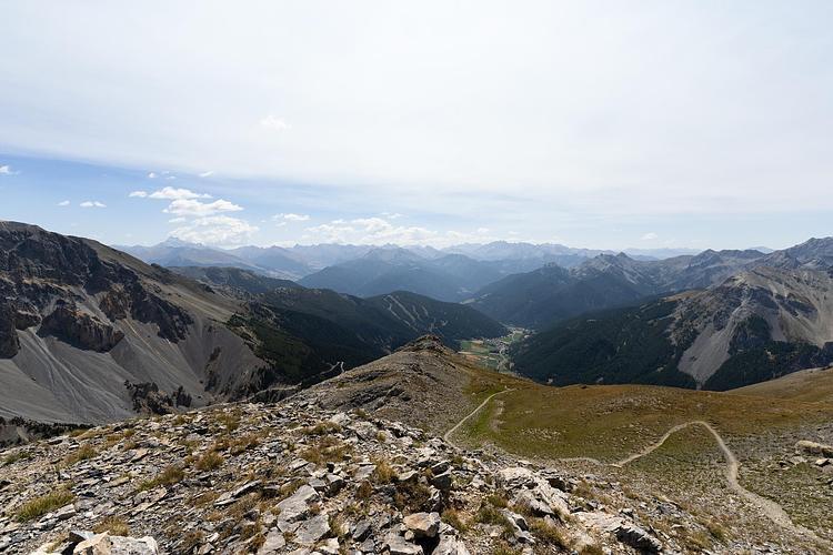
This hiking trail covers 20.305mi starting from Abriès-Ristolas, Hautes-Alpes. The hike does not return to the trailhead and ends near 46 Montée Du Cayre, 05350 Château-Ville-Vieille, France. This hike is rated as strenuous, plan for about 10h13m to complete it. The route has an elevation gain of 5909ft and an elevation loss of 5489ft.
Tour du Queyras 2éme journée
Route details
1.99mph
Speed
4685 kcal
Calories burned
10.6%
Avg grade
Point to point
Route type
5082ft
Min altitude
9150ft
Max altitude
High altitude
Steep climb
Route profile
5909ft
Elevation gain
5489ft
Elevation loss
5082ft
Min altitude
9150ft
Max altitude
How to get there
Trailhead: 3 Rue Des Bezouces, 05460 Abriès-Ristolas, France
GPS coordinates of the trailhead: 44.76, 6.99355 / 44°45'35'' N, 6°59'36'' E