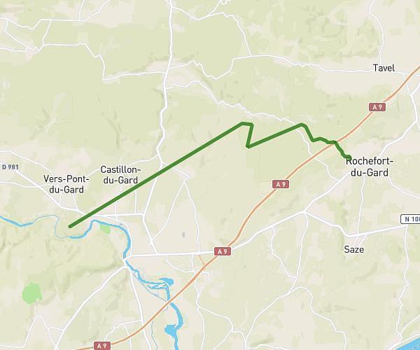
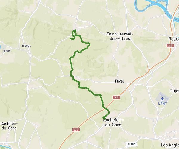
This hiking trail covers 83.788mi starting from Uzès, Gard. The hike does not return to the trailhead and ends near 102 Chemin Des Mouysses, 34410 Sérignan, France. This hike is rated as easy, plan for about 1h2m to complete it. The route has an elevation gain of 1270ft and an elevation loss of 1624ft.
6x40
Route details
80.72mph
Speed
438 kcal
Calories burned
0.7%
Avg grade
Point to point
Route type
-3ft
Min altitude
476ft
Max altitude
Route profile
1270ft
Elevation gain
1624ft
Elevation loss
-3ft
Min altitude
476ft
Max altitude
How to get there
Trailhead: 3 Place De L'evéché, 30700 Uzès, France
GPS coordinates of the trailhead: 44.01179, 4.42204 / 44°0'42'' N, 4°25'19'' E