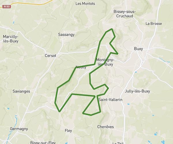
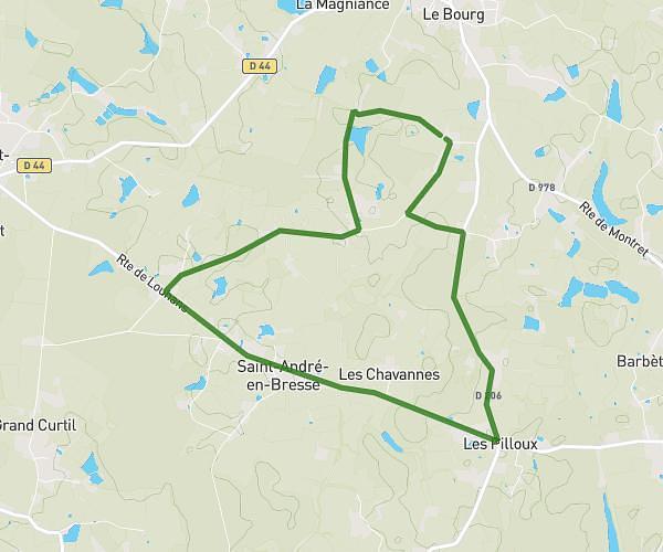
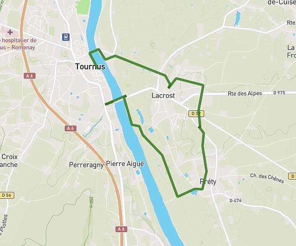
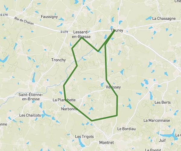
This running route covers 3.413mi starting from Chalon-sur-Saône, Saône-et-Loire. The run is a loop trail and returns to the trailhead. This run is rated as easy, expect about 1h15m to complete it. The route has an elevation gain of 10ft and an elevation loss of 13ft.
Crs 43 dcpo
Route details
2.73mph
Speed
858 kcal
Calories burned
Loop trail
Route type
571ft
Min altitude
584ft
Max altitude
Route profile
10ft
Elevation gain
13ft
Elevation loss
571ft
Min altitude
584ft
Max altitude
How to get there
Trailhead: 39 Rue D'uxelles, 71100 Chalon-sur-Saône, France
GPS coordinates of the trailhead: 46.77864, 4.86051 / 46°46'43'' N, 4°51'37'' E