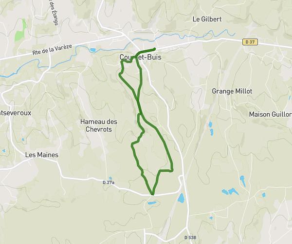
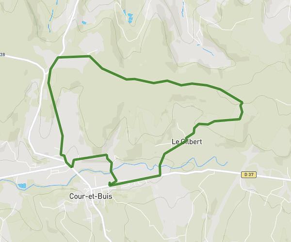
This running route covers 8.341mi starting from Vienne, Isère. The run is a loop trail and returns to the trailhead. This run is rated as hard, expect about 1h20m to complete it. The route has an elevation gain of 1362ft and an elevation loss of 1358ft.
Tour du Viennois: DeRonde of Gère
Route details
6.21mph
Speed
921 kcal
Calories burned
Loop trail
Route type
509ft
Min altitude
994ft
Max altitude
Route profile
1362ft
Elevation gain
1358ft
Elevation loss
509ft
Min altitude
994ft
Max altitude
How to get there
Trailhead: Place De La Gère, 38200 Vienne
GPS coordinates of the trailhead: 45.52751, 4.8802 / 45°31'39'' N, 4°52'48'' E