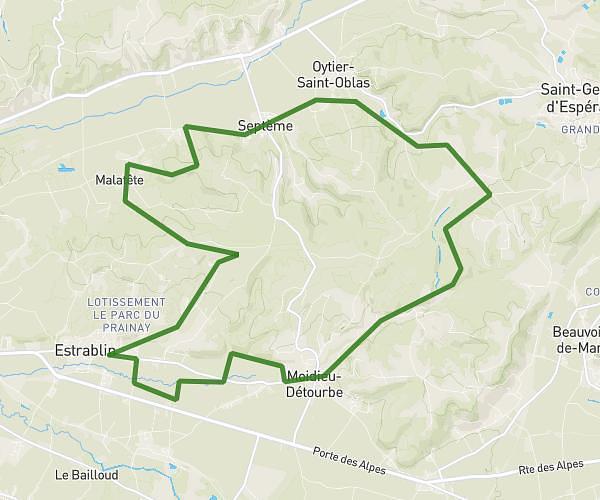
This hiking trail covers 10.886mi starting from Vienne, Isère. The hike is a loop trail and returns to the trailhead. This hike is rated as moderate, plan for about 3h30m to complete it. The route has an elevation gain of 1519ft and an elevation loss of 1535ft.
Le Grisard depuis Vienne
Route details
3.11mph
Speed
1536 kcal
Calories burned
5.3%
Avg grade
Loop trail
Route type
479ft
Min altitude
1516ft
Max altitude
Route profile
1519ft
Elevation gain
1535ft
Elevation loss
479ft
Min altitude
1516ft
Max altitude
How to get there
Trailhead: 3 Place Du Jeu De Paume, 38200 Vienne, France
GPS coordinates of the trailhead: 45.52711, 4.87371 / 45°31'37'' N, 4°52'25'' E