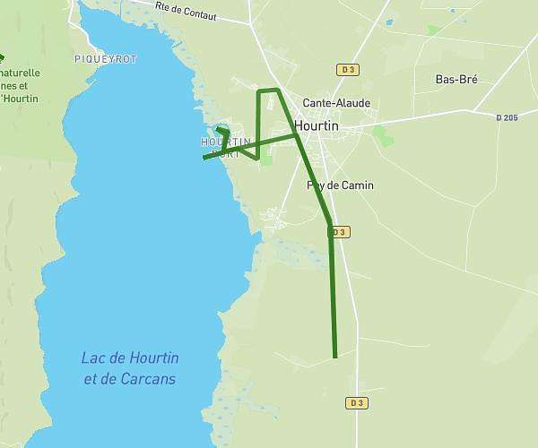
This running route covers 2.989mi starting from Hourtin, Gironde. The run is a loop trail and returns to the trailhead. This run is rated as easy, expect about 29m to complete it. The route has an elevation gain of 62ft and an elevation loss of 62ft.
Hourtin
Route details
6.18mph
Speed
332 kcal
Calories burned
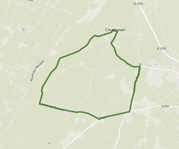
Loop trail
Route type
56ft
Min altitude
118ft
Max altitude
Route profile
62ft
Elevation gain
62ft
Elevation loss
56ft
Min altitude
118ft
Max altitude
How to get there
Trailhead: Rue Des Citronniers, 33990 Hourtin
GPS coordinates of the trailhead: 45.20018, -1.12049 / 45°12'0'' N, 1°7'13'' W