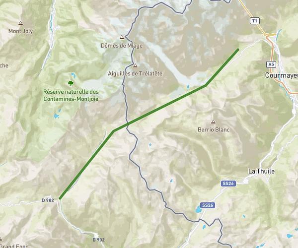
This hiking trail covers 2.487mi starting from Les Houches, Haute-Savoie. The hike is a loop trail and returns to the trailhead. This hike is rated as easy, plan for about 1h57m to complete it. The route has an elevation gain of 955ft and an elevation loss of 958ft.
Christ Roi - Les Houches
Route details
1.27mph
Speed
918 kcal
Calories burned
14.6%
Avg grade
Loop trail
Route type
3215ft
Min altitude
3917ft
Max altitude
Steep climb
Route profile
955ft
Elevation gain
958ft
Elevation loss
3215ft
Min altitude
3917ft
Max altitude
How to get there
Trailhead: 165 Avenue Des Alpages, 74310 Les Houches, France
GPS coordinates of the trailhead: 45.89309, 6.80049 / 45°53'35'' N, 6°48'1'' E