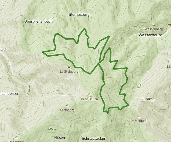
Explore this hiking route of 3,652mi starting from Geishouse, Haut-Rhin. The hike is a loop and returns to the starting point. This hike has no defined difficulty level, plan for about 1h46m to complete it. The route has a positive elevation gain of 945ft and a negative elevation loss of 942ft.
Haag Grand Ballon basique
Route details
Route profile
945ft
Elevation +
942ft
Elevation -
3937ft
Min altitude
4656ft
Max altitude
How to get there
Route starting point: Route De Geishouse, 68690 Geishouse
GPS coordinates of the starting point: 47.90504, 7.09034 / 47°54'18'' N, 7°5'25'' E