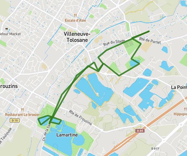
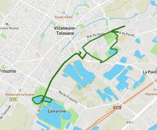
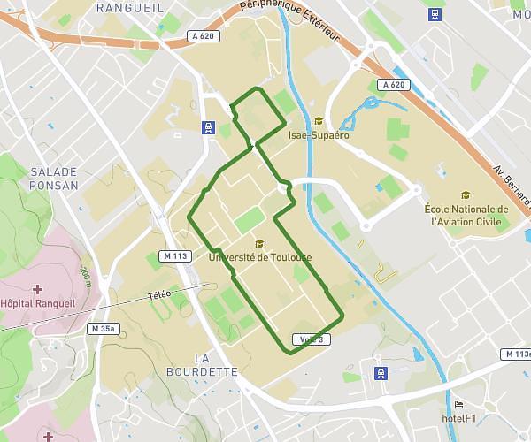
This running route covers 9.312mi starting from Longages, Haute-Garonne. The run is a loop trail and returns to the trailhead. This run is rated as hard, expect about 1h29m to complete it. The route has an elevation gain of 318ft and an elevation loss of 318ft.
Longages-15km
Route details
6.21mph
Speed
1028 kcal
Calories burned
Loop trail
Route type
633ft
Min altitude
725ft
Max altitude
Route profile
318ft
Elevation gain
318ft
Elevation loss
633ft
Min altitude
725ft
Max altitude
How to get there
Trailhead: 11 Chemin De Noé, 31410 Longages, France
GPS coordinates of the trailhead: 43.35484, 1.24462 / 43°21'17'' N, 1°14'40'' E