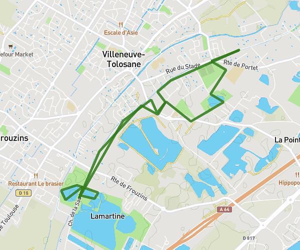
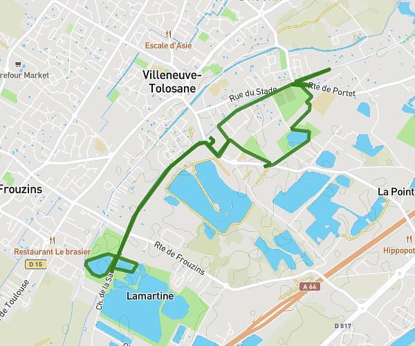
This running route covers 5.781mi starting from Longages, Haute-Garonne. The run is a loop trail and returns to the trailhead. This run is rated as moderate, expect about 55m49s to complete it. The route has an elevation gain of 23ft and an elevation loss of 16ft.
Longages-9km
Route details
6.21mph
Speed
638 kcal
Calories burned
Loop trail
Route type
643ft
Min altitude
666ft
Max altitude
Route profile
23ft
Elevation gain
16ft
Elevation loss
643ft
Min altitude
666ft
Max altitude
How to get there
Trailhead: 12 Chemin De Noé, 31410 Longages, France
GPS coordinates of the trailhead: 43.35476, 1.24453 / 43°21'17'' N, 1°14'40'' E