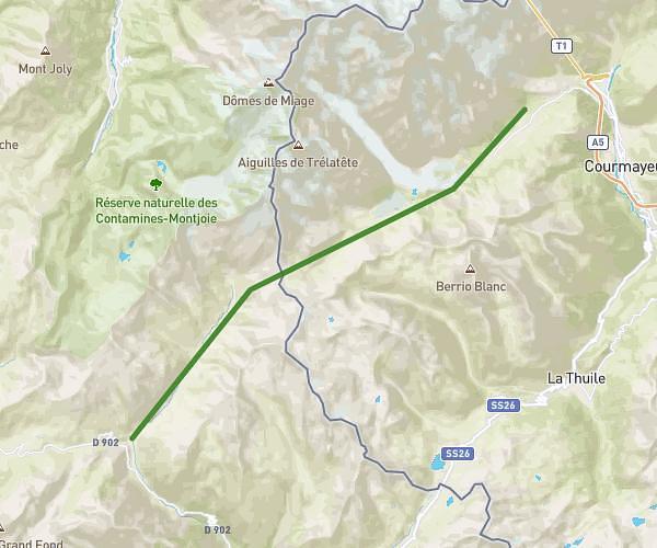
This hiking trail covers 15.509mi starting from Chamonix-Mont-Blanc, Haute-Savoie. The hike does not return to the trailhead and ends near Herbagères 2, 1929 Chamonix-Mont-Blanc, France. This hike is rated as strenuous, plan for about 7h10m to complete it. The route has an elevation gain of 6079ft and an elevation loss of 1919ft.
Aller Cham Posettes/Balme
Route details
2.16mph
Speed
3382 kcal
Calories burned
9.8%
Avg grade
Point to point
Route type
3412ft
Min altitude
7579ft
Max altitude
Steep climb
Route profile
6079ft
Elevation gain
1919ft
Elevation loss
3412ft
Min altitude
7579ft
Max altitude
How to get there
Trailhead: 279 Rue Joseph Vallot, 74400 Chamonix-Mont-Blanc, France
GPS coordinates of the trailhead: 45.92602, 6.86995 / 45°55'33'' N, 6°52'11'' E