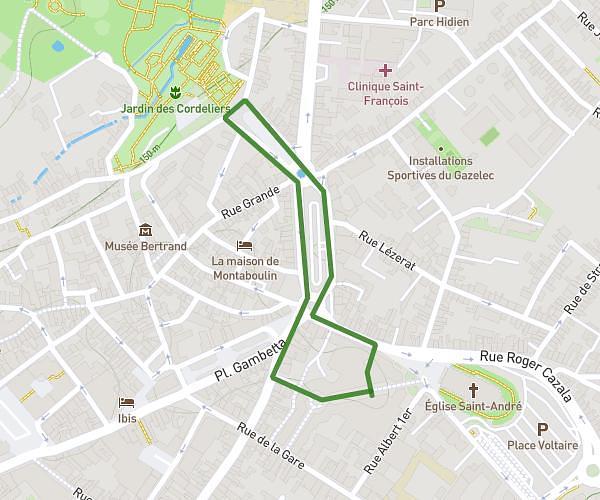
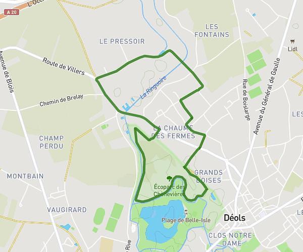
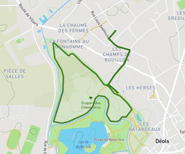
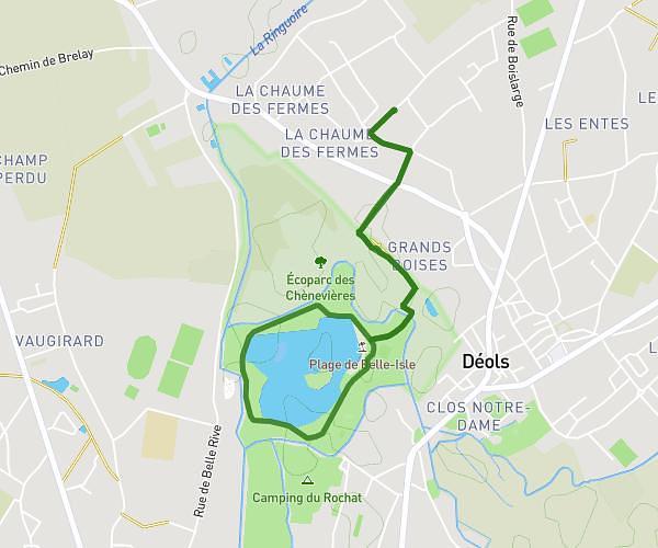
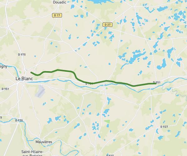
This running route covers 9.604mi starting from Saint-Chartier, Indre. The run is a loop trail and returns to the trailhead. This run is rated as hard, expect about 1h32m to complete it. The route has an elevation gain of 535ft and an elevation loss of 538ft.
15 KM Cote Verneuil
Route details
6.21mph
Speed
1060 kcal
Calories burned
Loop trail
Route type
604ft
Min altitude
856ft
Max altitude
Route profile
535ft
Elevation gain
538ft
Elevation loss
604ft
Min altitude
856ft
Max altitude
How to get there
Trailhead: Route De La Berthenoux, 36120 Saint-Chartier, France
GPS coordinates of the trailhead: 46.70162, 2.01083 / 46°42'5'' N, 2°0'38'' E