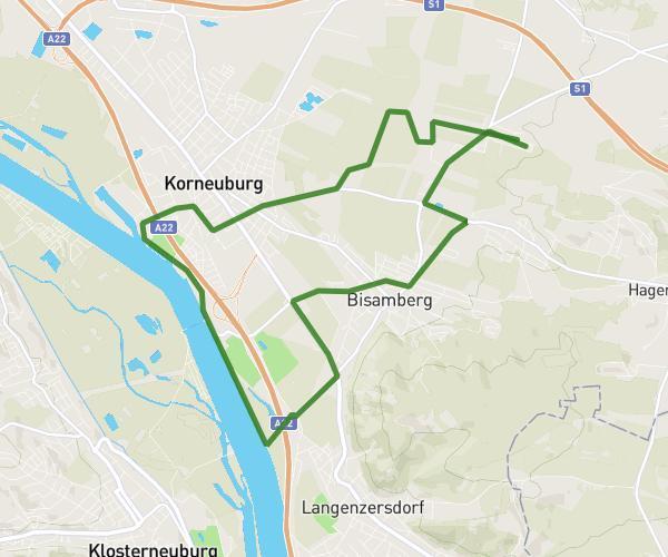
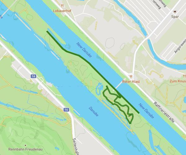
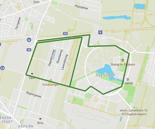
This running route covers 13.66mi starting from Hagenbrunn, Lower Austria. The run does not return to the trailhead and ends near Hauptstraße 11, 2102 Hagenbrunn, Austria. This run is rated as strenuous, expect about 2h27m to complete it. The route has an elevation gain of 459ft and an elevation loss of 499ft.
21,8
Route details
5.57mph
Speed
1681 kcal
Calories burned
Point to point
Route type
509ft
Min altitude
643ft
Max altitude
Route profile
459ft
Elevation gain
499ft
Elevation loss
509ft
Min altitude
643ft
Max altitude
How to get there
Trailhead: Im Hochfeld 4, 2102 Hagenbrunn, Austria
GPS coordinates of the trailhead: 48.348012, 16.383398 / 48°20'52'' N, 16°23'0'' E