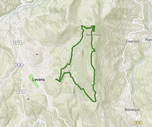
This hiking trail covers 4.254mi starting from Saint-Martin-Vésubie, Alpes-Maritimes. The hike does not return to the trailhead and ends near M 189, 06450 Saint-Martin-Vésubie. This hike is rated as strenuous, plan for about 2h40m to complete it. The route has an elevation gain of 1837ft and an elevation loss of 2841ft.
Madone-Pisset-Boréon
Route details
1.6mph
Speed
1273 kcal
Calories burned
20.8%
Avg grade
Point to point
Route type
5282ft
Min altitude
7552ft
Max altitude
Steep climb
Route profile
1837ft
Elevation gain
2841ft
Elevation loss
5282ft
Min altitude
7552ft
Max altitude
How to get there
Trailhead: M 94, 06450 Saint-Martin-Vésubie
GPS coordinates of the trailhead: 44.09573, 7.35611 / 44°5'44'' N, 7°21'21'' E