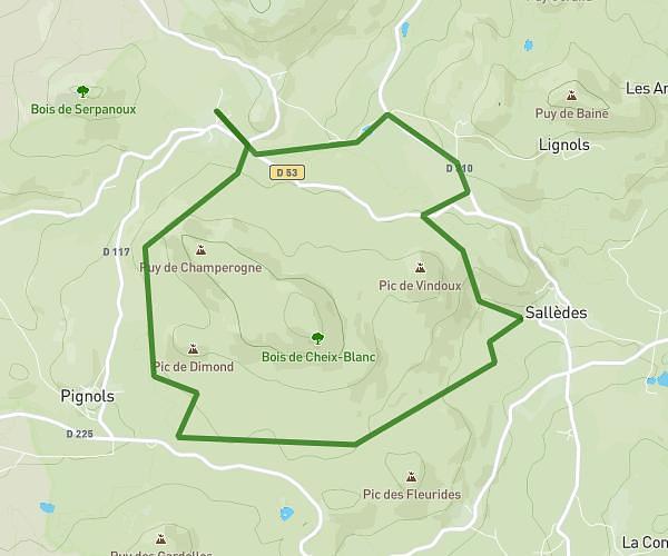
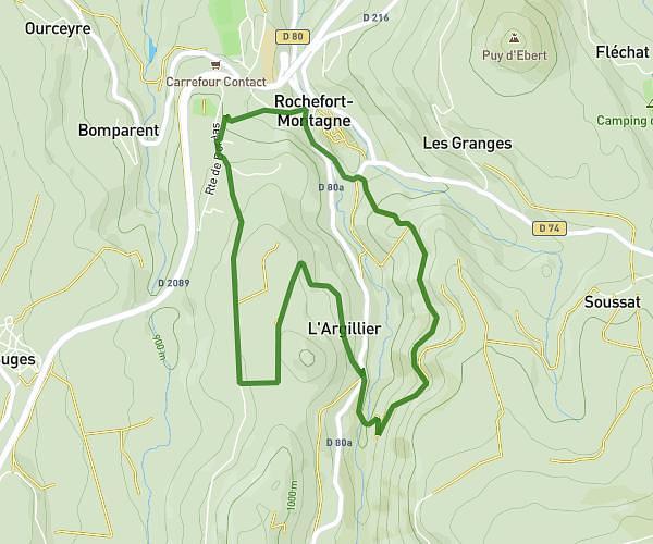
This walking route covers 5.434mi starting from Saint-Germain-Lembron, Puy-de-Dôme. The walk is a loop trail and returns to the trailhead. This walk is rated as hard, plan for about 2h10m to complete it. The route has an elevation gain of 361ft and an elevation loss of 361ft.
St Germain Lembron - Fontaboue
Route details
23:54/mi
Pace
531 kcal
Calories burned
Loop trail
Route type
1368ft
Min altitude
1575ft
Max altitude
Route profile
361ft
Elevation gain
361ft
Elevation loss
1368ft
Min altitude
1575ft
Max altitude
How to get there
Trailhead: 21 Chemin De Fontaboue, 63340 Saint-Germain-Lembron, France
GPS coordinates of the trailhead: 45.45709, 3.24755 / 45°27'25'' N, 3°14'51'' E