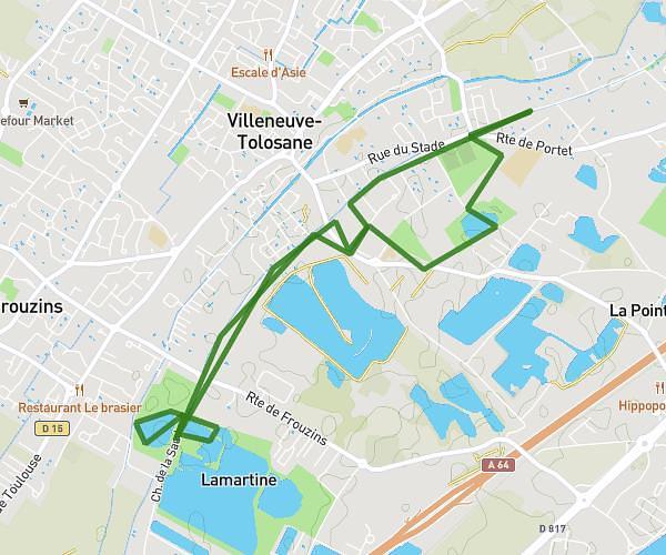
This running route covers 2.646mi starting from Trébons-sur-la-Grasse, Haute-Garonne. The run is a loop trail and returns to the trailhead. This run is rated as easy, expect about 57m to complete it. The route has an elevation gain of 266ft and an elevation loss of 266ft.
Trebons
Route details
2.78mph
Speed
652 kcal
Calories burned
Loop trail
Route type
623ft
Min altitude
876ft
Max altitude
Route profile
266ft
Elevation gain
266ft
Elevation loss
623ft
Min altitude
876ft
Max altitude
How to get there
Trailhead: Chemin D'en Janoy, 31290 Trébons-sur-la-Grasse
GPS coordinates of the trailhead: 43.45921, 1.70723 / 43°27'33'' N, 1°42'26'' E