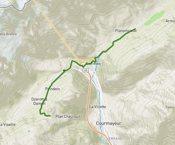
This hiking trail covers 171.211mi starting from Sixt-Fer-à-Cheval, Haute-Savoie. The hike does not return to the trailhead and ends near 38520 Les Deux Alpes. This hike is rated as strenuous, plan for about to complete it. The route has an elevation gain of 30722ft and an elevation loss of 28291ft.
ALPES
Route details
2.49mph
Speed
6.5%
Avg grade
Point to point
Route type
1119ft
Min altitude
8087ft
Max altitude
Route profile
30722ft
Elevation gain
28291ft
Elevation loss
1119ft
Min altitude
8087ft
Max altitude
How to get there
Trailhead: 74740 Sixt-Fer-à-Cheval
GPS coordinates of the trailhead: 46.01242, 6.75932 / 46°0'44'' N, 6°45'33'' E