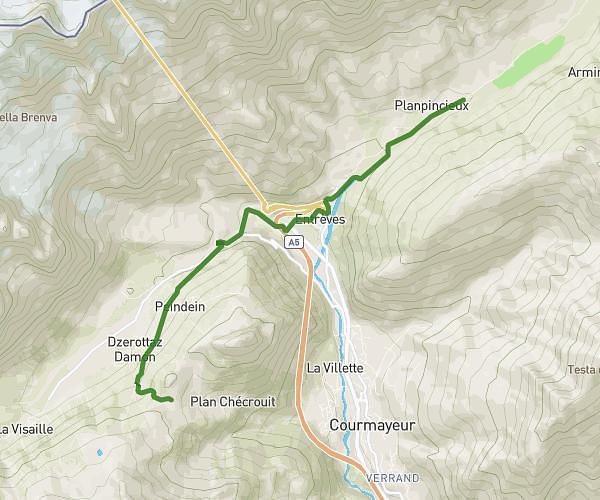
This hiking trail covers 11.28mi starting from Chamonix-Mont-Blanc, Haute-Savoie. The hike does not return to the trailhead and ends near 504a Chemin Des Eaux Rousses, 74310 Les Houches, France. This hike is rated as strenuous, plan for about 9h4m to complete it. The route has an elevation gain of 2329ft and an elevation loss of 6729ft.
TMB - J9 (TBC)
Route details
1.24mph
Speed
4061 kcal
Calories burned
15.2%
Avg grade
Point to point
Route type
3323ft
Min altitude
8071ft
Max altitude
Steep climb
Route profile
2329ft
Elevation gain
6729ft
Elevation loss
3323ft
Min altitude
8071ft
Max altitude
How to get there
Trailhead: La Tour Argentiere Les Praz, Chamonix-Mont-Blanc, Haute-Savoie, France
GPS coordinates of the trailhead: 45.98155, 6.89161 / 45°58'53'' N, 6°53'29'' E