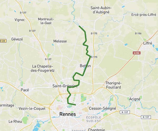
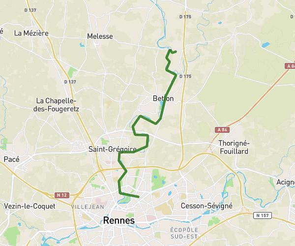
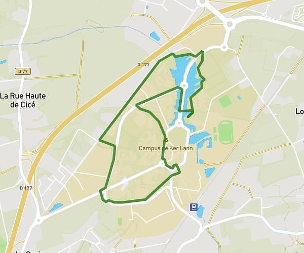
This hiking trail covers 6.913mi starting from Rennes, Ille-et-Vilaine. The hike does not return to the trailhead and ends near 27 Rue De Buféron, 35000 Rennes, France. This hike is rated as easy, plan for about 2h23m to complete it. The route has an elevation gain of 328ft and an elevation loss of 282ft.
Marche 01
Route details
2.9mph
Speed
1016 kcal
Calories burned
1.7%
Avg grade
Point to point
Route type
69ft
Min altitude
157ft
Max altitude
Route profile
328ft
Elevation gain
282ft
Elevation loss
69ft
Min altitude
157ft
Max altitude
How to get there
Trailhead: Rocade Ouest, 35000 Rennes, France
GPS coordinates of the trailhead: 48.106, -1.7156 / 48°6'21'' N, 1°42'56'' W