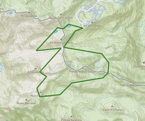
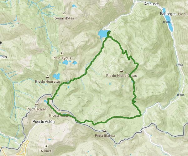
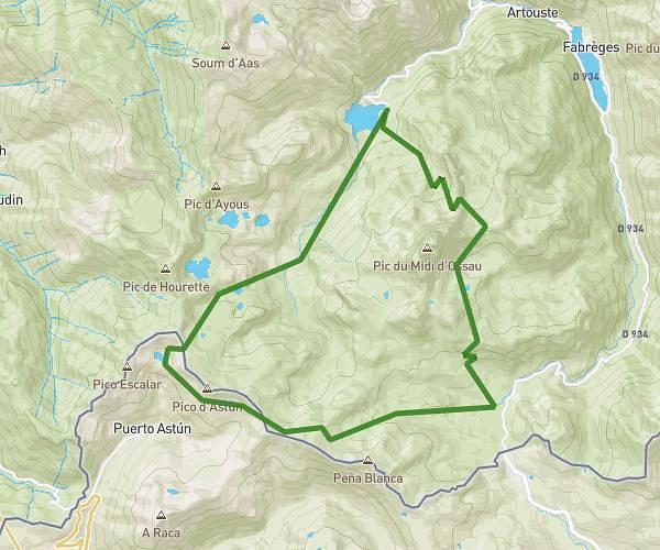
This hiking trail covers 11.52mi starting from Estaing, Hautes-Pyrénées. The hike is a loop trail and returns to the trailhead. This hike is rated as strenuous, plan for about 6h51m to complete it. The route has an elevation gain of 2490ft and an elevation loss of 2493ft.
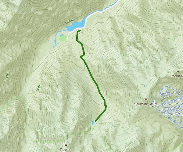
20250629 - Lac du Plaa de Prat et Ruines du Liantran
Route details
1.68mph
Speed
3081 kcal
Calories burned
8.2%
Avg grade
Loop trail
Route type
3832ft
Min altitude
6102ft
Max altitude
Steep climb
Route profile
2490ft
Elevation gain
2493ft
Elevation loss
3832ft
Min altitude
6102ft
Max altitude
How to get there
Trailhead: D 103, 65400 Estaing, France
GPS coordinates of the trailhead: 42.90362, -0.21201 / 42°54'13'' N, 0°12'43'' W