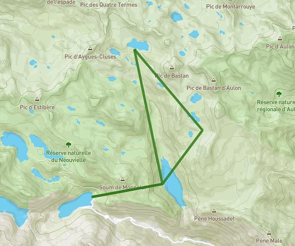
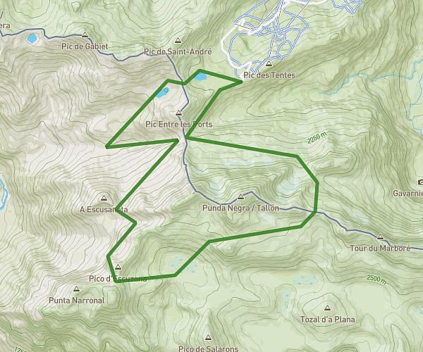
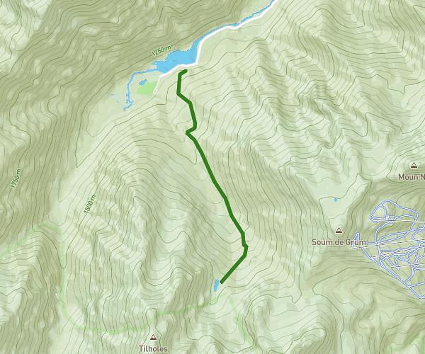
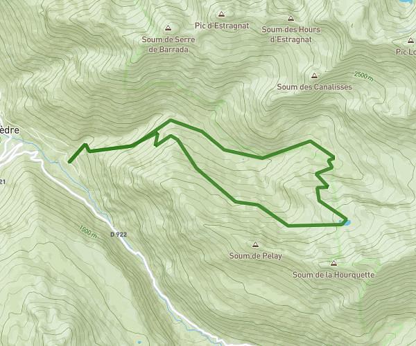
This hiking trail covers 8.779mi starting from Gavarnie-Gèdre, Hautes-Pyrénées. The hike does not return to the trailhead and ends near D 176, 65120 Gavarnie-Gèdre, France. This hike is rated as strenuous, plan for about 5h45m to complete it. The route has an elevation gain of 3527ft and an elevation loss of 3606ft.
20250701_Cirque d'Estaubé
Route details
1.52mph
Speed
2728 kcal
Calories burned
15.4%
Avg grade
Point to point
Route type
5564ft
Min altitude
6224ft
Max altitude
Steep climb
Route profile
3527ft
Elevation gain
3606ft
Elevation loss
5564ft
Min altitude
6224ft
Max altitude
How to get there
Trailhead: D 176, 65120 Gavarnie-Gèdre, France
GPS coordinates of the trailhead: 42.75407, 0.04891 / 42°45'14'' N, 0°2'56'' E