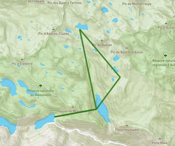
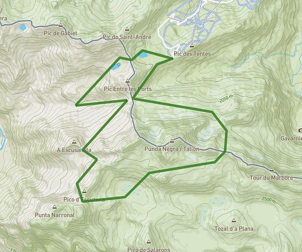
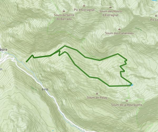
This hiking trail covers 6.304mi starting from Gavarnie-Gèdre, Hautes-Pyrénées. The hike is a loop trail and returns to the trailhead. This hike is rated as strenuous, plan for about 3h9m to complete it. The route has an elevation gain of 1650ft and an elevation loss of 1647ft.
20250702 - Cirque de Gavarnie
Route details
2.0mph
Speed
1432 kcal
Calories burned
9.9%
Avg grade
Loop trail
Route type
4501ft
Min altitude
5833ft
Max altitude
Steep climb
Route profile
1650ft
Elevation gain
1647ft
Elevation loss
4501ft
Min altitude
5833ft
Max altitude
How to get there
Trailhead: Route Des Espécières, 65120 Gavarnie-Gèdre, France
GPS coordinates of the trailhead: 42.73558, -0.01183 / 42°44'8'' N, 0°0'42'' W