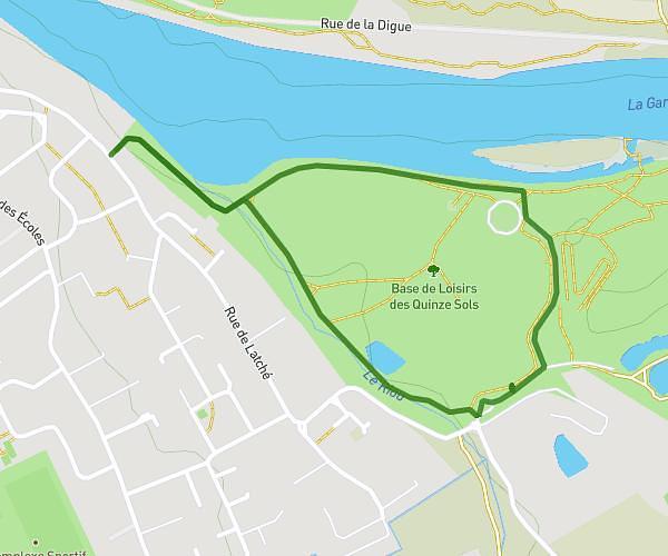
This hiking trail covers 3.464mi starting from Tournefeuille, Haute-Garonne. The hike does not return to the trailhead and ends near 110 Avenue Du Marquisat, 31170 Tournefeuille, France. This hike is rated as easy, plan for about 3h to complete it. The route has an elevation gain of 72ft and an elevation loss of 75ft.
Iti lac de la Ramée
Route details
1.16mph
Speed
1268 kcal
Calories burned
0.8%
Avg grade
Point to point
Route type
505ft
Min altitude
548ft
Max altitude
Route profile
72ft
Elevation gain
75ft
Elevation loss
505ft
Min altitude
548ft
Max altitude
How to get there
Trailhead: 174 Chemin Du Ramelet Moundi, 31170 Tournefeuille, France
GPS coordinates of the trailhead: 43.57893, 1.35752 / 43°34'44'' N, 1°21'27'' E