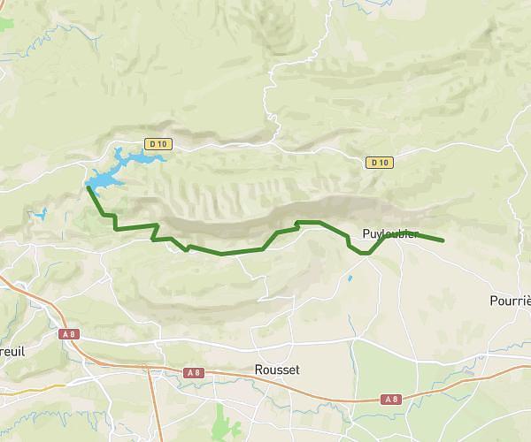
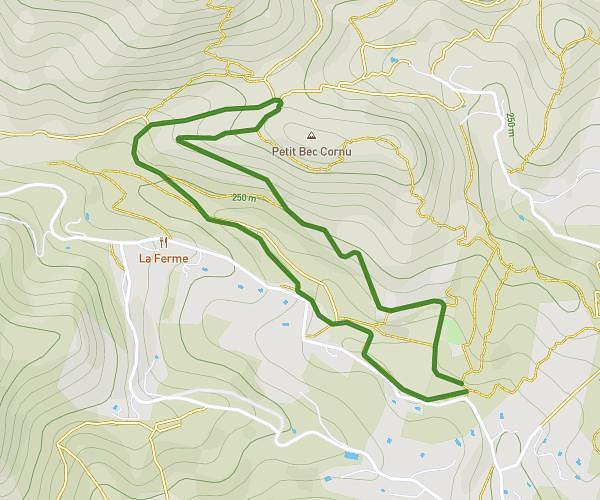
This hiking trail covers 10.817mi starting from Saint-Antonin-sur-Bayon, Bouches-du-Rhône. The hike is a loop trail and returns to the trailhead. This hike is rated as strenuous, plan for about 4h21m to complete it. The route has an elevation gain of 3658ft and an elevation loss of 3658ft.
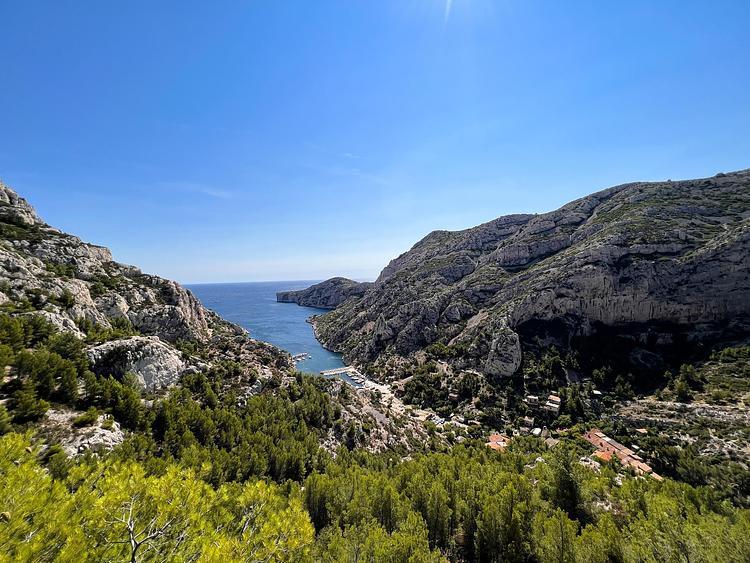
sainte victoire
Route details
2.49mph
Speed
2023 kcal
Calories burned
12.8%
Avg grade
Loop trail
Route type
1407ft
Min altitude
3294ft
Max altitude
Steep climb
Route profile
3658ft
Elevation gain
3658ft
Elevation loss
1407ft
Min altitude
3294ft
Max altitude
How to get there
Trailhead: Rue Du Bayon, 13100 Saint-Antonin-sur-Bayon
GPS coordinates of the trailhead: 43.51929, 5.58555 / 43°31'9'' N, 5°35'7'' E