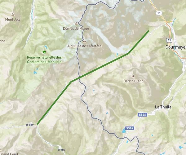
This hiking trail covers 9.097mi starting from Chamonix-Mont-Blanc, Haute-Savoie. The hike does not return to the trailhead and ends near Plaine, Passy, Haute-Savoie, France. This hike is rated as strenuous, plan for about 3h36m to complete it. The route has an elevation gain of 3238ft and an elevation loss of 3553ft.
Tour des aiguilles rouge J3
Route details
2.53mph
Speed
1682 kcal
Calories burned
14.1%
Avg grade
Point to point
Route type
5276ft
Min altitude
8091ft
Max altitude
Steep climb
Route profile
3238ft
Elevation gain
3553ft
Elevation loss
5276ft
Min altitude
8091ft
Max altitude
How to get there
Trailhead: La Tour Argentiere Les Praz, Chamonix-Mont-Blanc, Haute-Savoie, France
GPS coordinates of the trailhead: 45.92241, 6.82941 / 45°55'20'' N, 6°49'45'' E