This hiking trail covers 8.026mi starting from Camaret-sur-Mer, Finistère. The hike does not return to the trailhead and ends near Rue De La Grève, 29160 Lanvéoc. This hike is rated as moderate, plan for about 1h32m to complete it. The route has an elevation gain of 666ft and an elevation loss of 758ft.
Quatrième etape
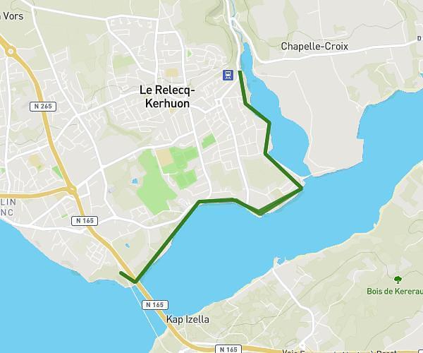
Route details
5.23mph
Speed
661 kcal
Calories burned
3.4%
Avg grade
Point to point
Route type
0ft
Min altitude
187ft
Max altitude
Route profile
666ft
Elevation gain
758ft
Elevation loss
0ft
Min altitude
187ft
Max altitude
How to get there
Trailhead: Route De Lambézen, 29570 Camaret-sur-Mer
GPS coordinates of the trailhead: 48.27843, -4.56714 / 48°16'42'' N, 4°34'1'' W