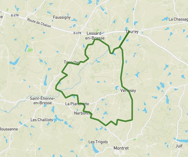
This running route covers 2.649mi starting from Frangy-en-Bresse, Saône-et-Loire. The run is a loop trail and returns to the trailhead. This run is rated as easy, expect about 30m to complete it. The route has an elevation gain of 66ft and an elevation loss of 26ft.
Frangy
Route details
5.3mph
Speed
343 kcal
Calories burned
Loop trail
Route type
610ft
Min altitude
676ft
Max altitude
Route profile
66ft
Elevation gain
26ft
Elevation loss
610ft
Min altitude
676ft
Max altitude
How to get there
Trailhead: 1290 Chemin De Vachetantôt, 71330 Frangy-en-Bresse, France
GPS coordinates of the trailhead: 46.7099, 5.34031 / 46°42'35'' N, 5°20'25'' E