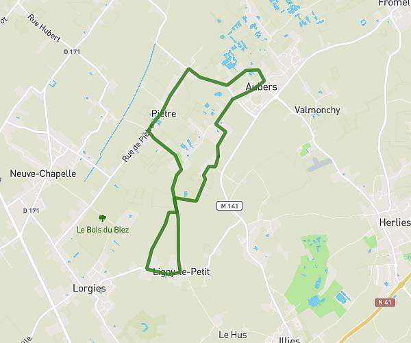
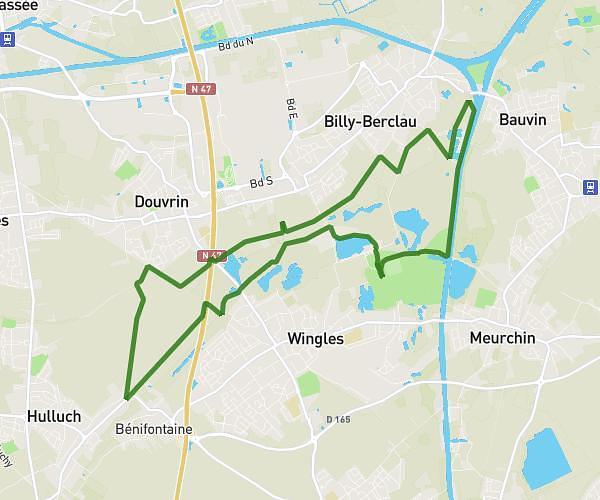
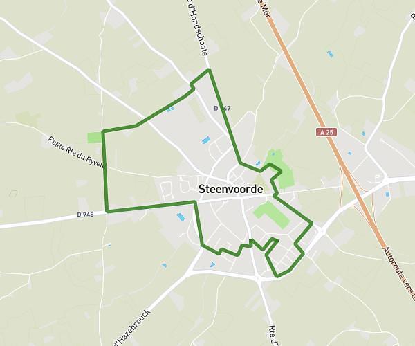
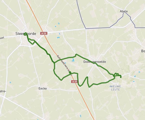
This hiking trail covers 11.523mi starting from Bailleul, Nord. The hike is a loop trail and returns to the trailhead. This hike is rated as moderate, plan for about 3h59m to complete it. The route has an elevation gain of 522ft and an elevation loss of 541ft.
Rando18
Route details
2.9mph
Speed
1697 kcal
Calories burned
1.7%
Avg grade
Loop trail
Route type
52ft
Min altitude
243ft
Max altitude
Route profile
522ft
Elevation gain
541ft
Elevation loss
52ft
Min altitude
243ft
Max altitude
How to get there
Trailhead: 115 Rue De Lille, 59270 Bailleul, France
GPS coordinates of the trailhead: 50.73642, 2.74203 / 50°44'11'' N, 2°44'31'' E