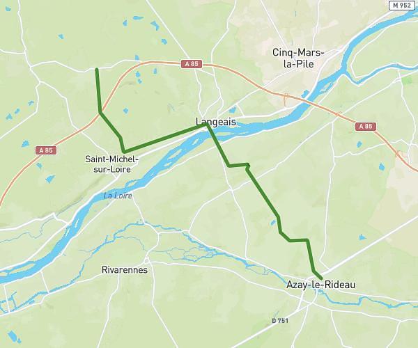
This running route covers 2.669mi starting from Monts, Indre-et-Loire. The run is a loop trail and returns to the trailhead. This run is rated as easy, expect about 28m to complete it. The route has an elevation gain of 66ft and an elevation loss of 43ft.
Running
Route details
5.72mph
Speed
320 kcal
Calories burned
Loop trail
Route type
171ft
Min altitude
233ft
Max altitude
Route profile
66ft
Elevation gain
43ft
Elevation loss
171ft
Min altitude
233ft
Max altitude
How to get there
Trailhead: Rue Des Varennes, 37260 Monts
GPS coordinates of the trailhead: 47.27731, 0.64715 / 47°16'38'' N, 0°38'49'' E