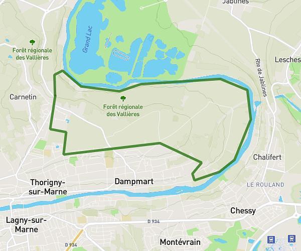
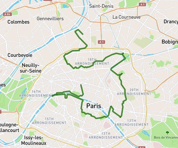
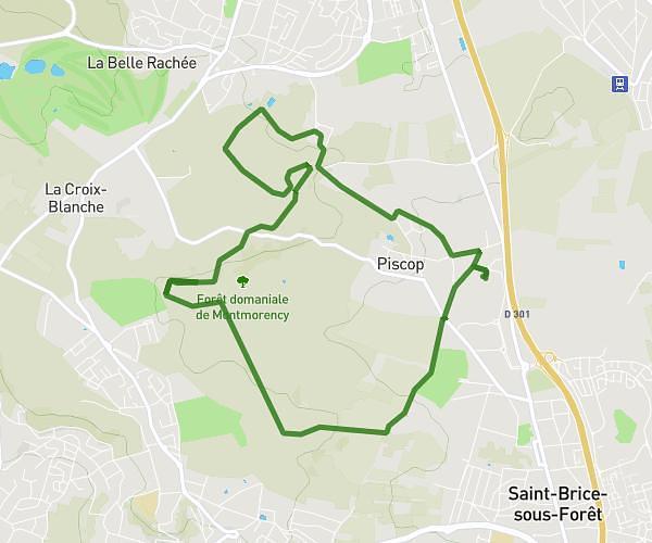
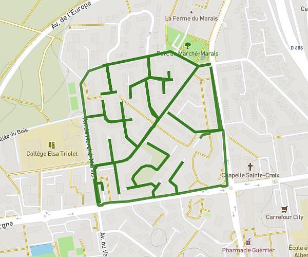
This hiking trail covers 28.405mi starting from Saint-Mard, Seine-et-Marne. The hike does not return to the trailhead and ends near 317 Rue Du Bas Cône, 60320 Béthisy-Saint-Pierre, France. This hike is rated as moderate, plan for about 8h31m to complete it. The route has an elevation gain of 1099ft and an elevation loss of 1243ft.
ÉTAPE 2 (ENSEMBLE CONTRE CHARCOT)
Route details
2.78mph
Speed
3621 kcal
Calories burned
1.6%
Avg grade
Point to point
Route type
141ft
Min altitude
548ft
Max altitude
Route profile
1099ft
Elevation gain
1243ft
Elevation loss
141ft
Min altitude
548ft
Max altitude
How to get there
Trailhead: 11 Rue De La Mairie, 77230 Saint-Mard, France
GPS coordinates of the trailhead: 49.03742, 2.69414 / 49°2'14'' N, 2°41'38'' E