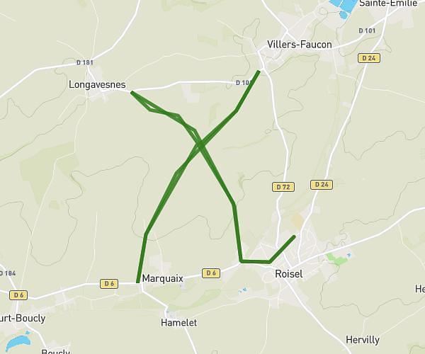
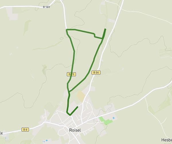
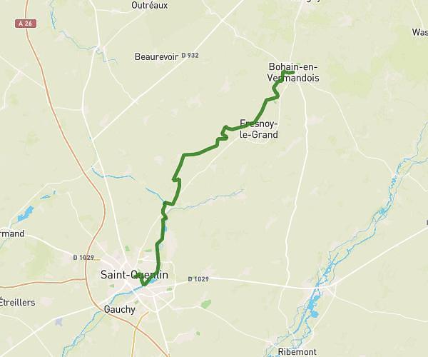
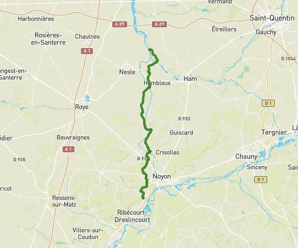
This hiking trail covers 21.478mi starting from Béthencourt-sur-Somme, Somme. The hike does not return to the trailhead and ends near Rue Du Petit Butin, 02100 Saint-Quentin. This hike is rated as hard, plan for about 7h21m to complete it. The route has an elevation gain of 764ft and an elevation loss of 607ft.
ÉTAPE 6 (ENSEMBLE CONTRE CHARCOT)
Route details
2.92mph
Speed
3122 kcal
Calories burned
1.2%
Avg grade
Point to point
Route type
177ft
Min altitude
486ft
Max altitude
Route profile
764ft
Elevation gain
607ft
Elevation loss
177ft
Min altitude
486ft
Max altitude
How to get there
Trailhead: Rue De L'école, 80190 Béthencourt-sur-Somme
GPS coordinates of the trailhead: 49.7949, 2.96545 / 49°47'41'' N, 2°57'55'' E