This hiking trail covers 18.524mi starting from Courcelles, Hainaut. The hike does not return to the trailhead and ends near Rue De Scoumont 39, 6230 Pont-à-Celles, Hainaut, Belgium. This hike is rated as moderate, plan for about 5h25m to complete it. The route has an elevation gain of 509ft and an elevation loss of 558ft.
Préparation 50km
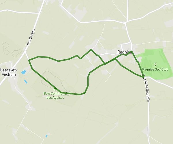
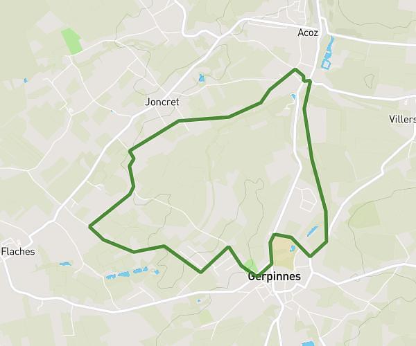
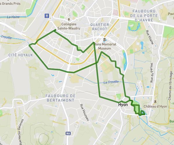
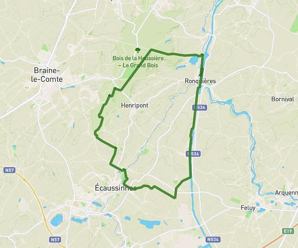
Route details
3.42mph
Speed
2296 kcal
Calories burned
1.1%
Avg grade
Point to point
Route type
256ft
Min altitude
515ft
Max altitude
Route profile
509ft
Elevation gain
558ft
Elevation loss
256ft
Min altitude
515ft
Max altitude
How to get there
Trailhead: Rue De Jeumont 2, 6181 Courcelles, Hainaut, Belgium
GPS coordinates of the trailhead: 50.48451, 4.31732 / 50°29'4'' N, 4°19'2'' E