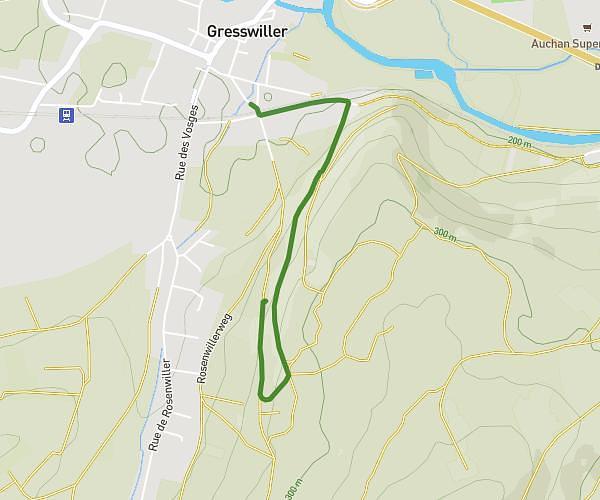
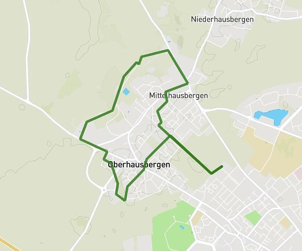
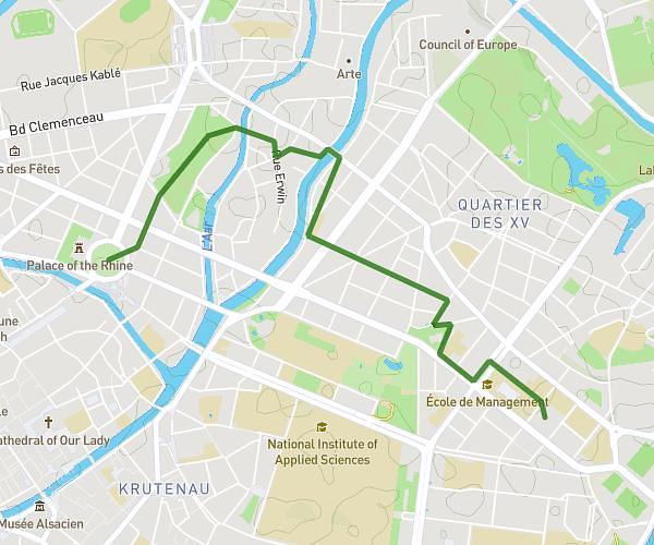
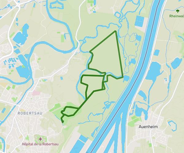
This walking route covers 2.627mi starting from Strasbourg, Bas-Rhin. The walk is a loop trail and returns to the trailhead. This walk is rated as easy, plan for about 55m59s to complete it. The route has an elevation gain of 249ft and an elevation loss of 249ft.
Marché de Noël
Route details
21:19/mi
Pace
229 kcal
Calories burned
Loop trail
Route type
456ft
Min altitude
509ft
Max altitude
Route profile
249ft
Elevation gain
249ft
Elevation loss
456ft
Min altitude
509ft
Max altitude
How to get there
Trailhead: Parking Courte Durée, 67000 Strasbourg, France
GPS coordinates of the trailhead: 48.58451, 7.735925 / 48°35'4'' N, 7°44'9'' E