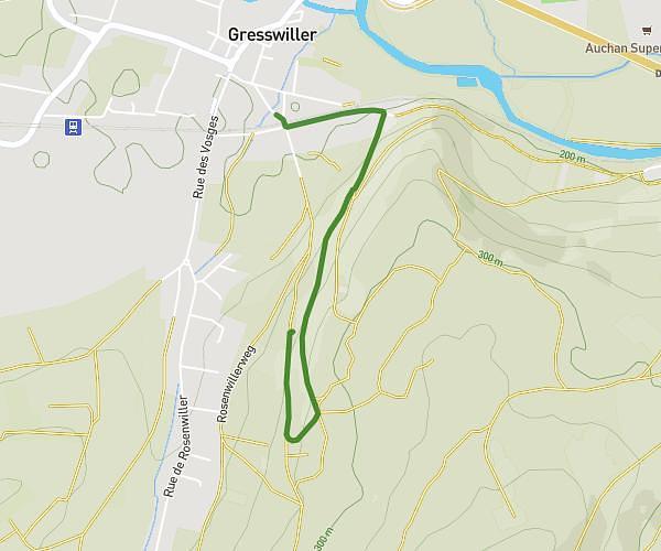
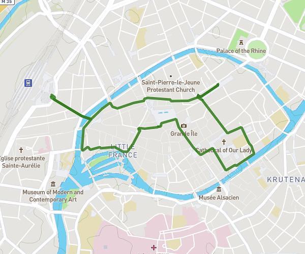
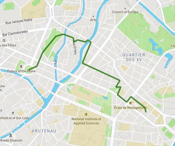
This walking route covers 9.228mi starting from Strasbourg, Bas-Rhin. The walk is a loop trail and returns to the trailhead. This walk is rated as strenuous, plan for about 3h5m to complete it. The route has an elevation gain of 302ft and an elevation loss of 308ft.
25 ans CAMI
Route details
20:02/mi
Pace
755 kcal
Calories burned
Loop trail
Route type
433ft
Min altitude
479ft
Max altitude
Route profile
302ft
Elevation gain
308ft
Elevation loss
433ft
Min altitude
479ft
Max altitude
How to get there
Trailhead: 184 Rue Mélanie, 67000 Strasbourg, France
GPS coordinates of the trailhead: 48.60686, 7.79892 / 48°36'24'' N, 7°47'56'' E