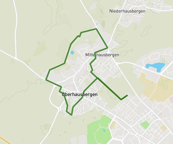
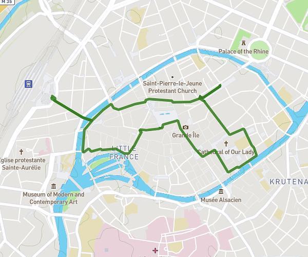
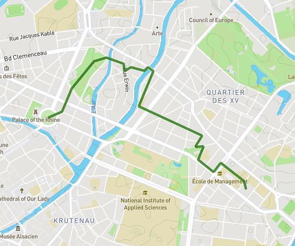
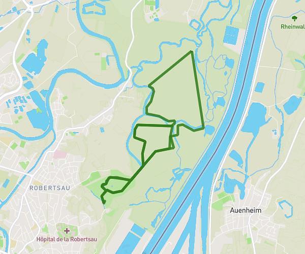
This walking route covers 1.075mi starting from Gresswiller, Bas-Rhin. The walk does not return to the trailhead and ends near 9 Rue Des Fleurs, 67190 Gresswiller, France. This walk is rated as easy, plan for about 25m57s to complete it. The route has an elevation gain of 128ft and an elevation loss of 335ft.
Ballade
Route details
24:08/mi
Pace
106 kcal
Calories burned
Point to point
Route type
646ft
Min altitude
961ft
Max altitude
Route profile
128ft
Elevation gain
335ft
Elevation loss
646ft
Min altitude
961ft
Max altitude
How to get there
Trailhead: Rosenwillerweg, 67190 Gresswiller, France
GPS coordinates of the trailhead: 48.52777, 7.432981 / 48°31'39'' N, 7°25'58'' E