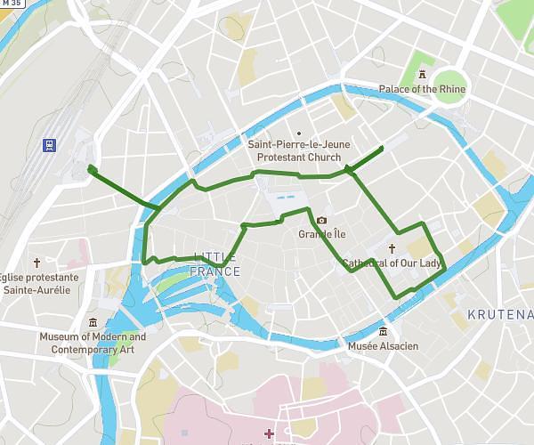
This walking route covers 1.777mi starting from Strasbourg, Bas-Rhin. The walk does not return to the trailhead and ends near 4 Rue De Wallonie, 67000 Strasbourg, France. This walk is rated as easy, plan for about 57m12s to complete it. The route has an elevation gain of 154ft and an elevation loss of 141ft.
Marche intersites
Route details
32:11/mi
Pace
234 kcal
Calories burned
Point to point
Route type
446ft
Min altitude
499ft
Max altitude
Route profile
154ft
Elevation gain
141ft
Elevation loss
446ft
Min altitude
499ft
Max altitude
How to get there
Trailhead: 5 Place De La République, 67000 Strasbourg, France
GPS coordinates of the trailhead: 48.587252, 7.75403 / 48°35'14'' N, 7°45'14'' E