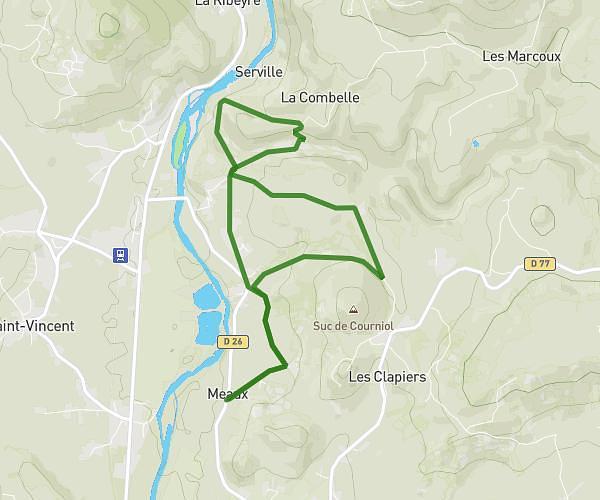
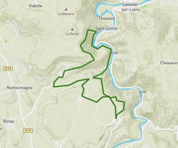
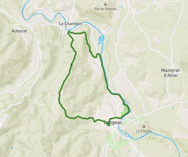
This hiking trail covers 7.273mi starting from Grazac, Haute-Loire. The hike is a loop trail and returns to the trailhead. This hike is rated as moderate, plan for about 1h26m to complete it. The route has an elevation gain of 886ft and an elevation loss of 886ft.
Passerelle grazac
Route details
5.08mph
Speed
625 kcal
Calories burned
4.6%
Avg grade
Loop trail
Route type
2349ft
Min altitude
2694ft
Max altitude
Route profile
886ft
Elevation gain
886ft
Elevation loss
2349ft
Min altitude
2694ft
Max altitude
How to get there
Trailhead: 14 Rue Du Fiadou, 43200 Grazac, France
GPS coordinates of the trailhead: 45.187501, 4.185428 / 45°11'15'' N, 4°11'7'' E