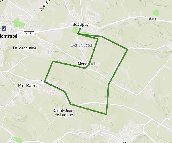
This running route covers 6.369mi starting from Toulouse, Haute-Garonne. The run does not return to the trailhead and ends near 18 Boulevard Lascrosses, 31000 Toulouse, France. This run is rated as moderate, expect about 1h8m to complete it. The route has an elevation gain of 0ft and an elevation loss of 36ft.
10km Tlse
Route details
5.62mph
Speed
777 kcal
Calories burned
Point to point
Route type
463ft
Min altitude
499ft
Max altitude
Route profile
0ft
Elevation gain
36ft
Elevation loss
463ft
Min altitude
499ft
Max altitude
How to get there
Trailhead: 26 Avenue Léon Blum, 31500 Toulouse, France
GPS coordinates of the trailhead: 43.6144, 1.46195 / 43°36'51'' N, 1°27'43'' E