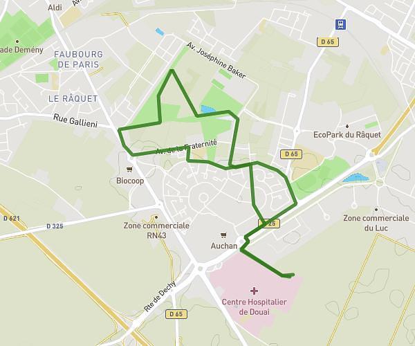
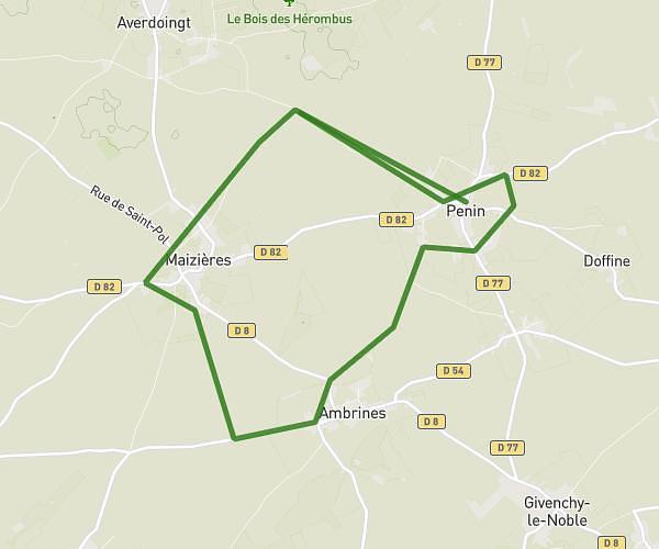
This hiking trail covers 12.981mi starting from Carency, Pas-de-Calais. The hike is a loop trail and returns to the trailhead. This hike is rated as hard, plan for about 4h35m to complete it. The route has an elevation gain of 1066ft and an elevation loss of 1063ft.
CARENCY AIX ABLAIN
Route details
2.83mph
Speed
1975 kcal
Calories burned
3.1%
Avg grade
Loop trail
Route type
243ft
Min altitude
650ft
Max altitude
Route profile
1066ft
Elevation gain
1063ft
Elevation loss
243ft
Min altitude
650ft
Max altitude
How to get there
Trailhead: 6 Rue D'ablain, 62144 Carency, France
GPS coordinates of the trailhead: 50.380889, 2.710195 / 50°22'51'' N, 2°42'36'' E