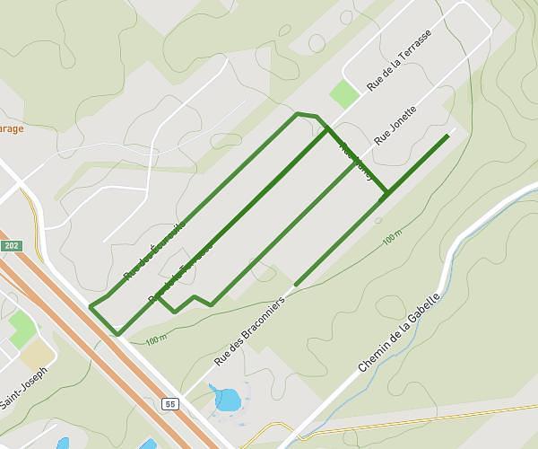
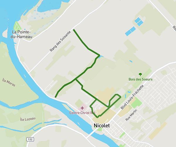
This running route covers 2.247mi starting from Trois-Rivières, Quebec. The run is a loop trail and returns to the trailhead. This run is rated as easy, expect about 16m32s to complete it. The route has an elevation gain of 72ft and an elevation loss of 72ft.
Mere
Route details
8.16mph
Speed
189 kcal
Calories burned
Loop trail
Route type
197ft
Min altitude
249ft
Max altitude
Route profile
72ft
Elevation gain
72ft
Elevation loss
197ft
Min altitude
249ft
Max altitude
How to get there
Trailhead: Rue Gilles-Lupien, G9C 0B8 Trois-Rivières
GPS coordinates of the trailhead: 46.35349, -72.62874 / 46°21'12'' N, 72°37'43'' W