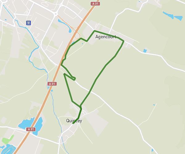
This running route covers 6.7mi starting from Beaune, Côte-d’Or. The run does not return to the trailhead and ends near Chemin De La Source, 21200 Beaune. This run is rated as moderate, expect about 53m to complete it. The route has an elevation gain of 482ft and an elevation loss of 449ft.
Foulées beaunoises 2023
Route details
7.59mph
Speed
606 kcal
Calories burned
Point to point
Route type
715ft
Min altitude
1033ft
Max altitude
Route profile
482ft
Elevation gain
449ft
Elevation loss
715ft
Min altitude
1033ft
Max altitude
How to get there
Trailhead: Avenue De La République, 21200 Beaune
GPS coordinates of the trailhead: 47.02364, 4.83551 / 47°1'25'' N, 4°50'7'' E