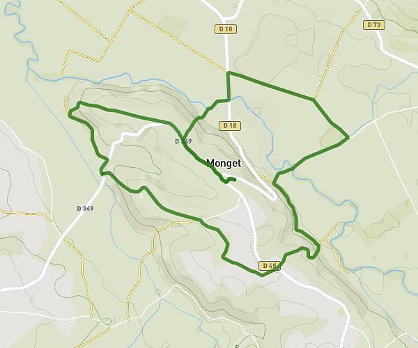
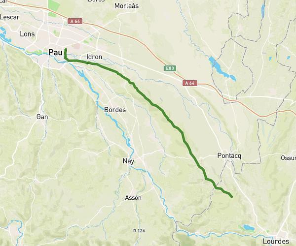
This hiking trail covers 7.566mi starting from Monein, Pyrénées-Atlantiques. The hike is a loop trail and returns to the trailhead. This hike is rated as hard, plan for about 2h34m to complete it. The route has an elevation gain of 974ft and an elevation loss of 978ft.
Lacommande boucle
Route details
2.95mph
Speed
1122 kcal
Calories burned
4.9%
Avg grade
Loop trail
Route type
433ft
Min altitude
919ft
Max altitude
Route profile
974ft
Elevation gain
978ft
Elevation loss
433ft
Min altitude
919ft
Max altitude
How to get there
Trailhead: Chemin De Pont D’As, 64360 Monein
GPS coordinates of the trailhead: 43.29798, -0.51724 / 43°17'52'' N, 0°31'2'' W