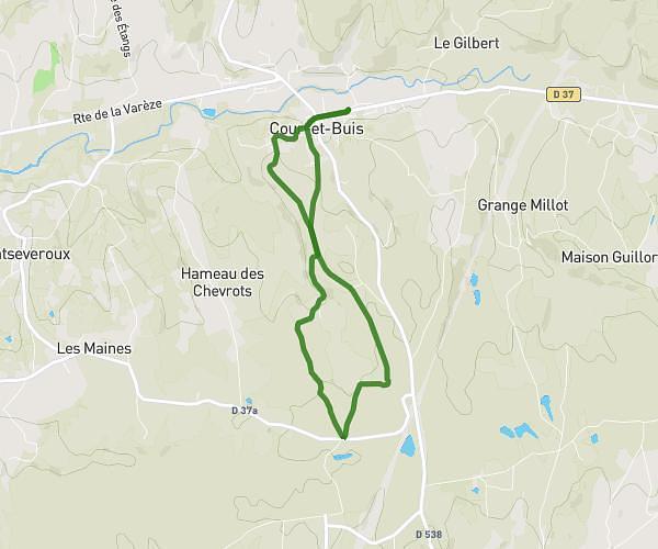
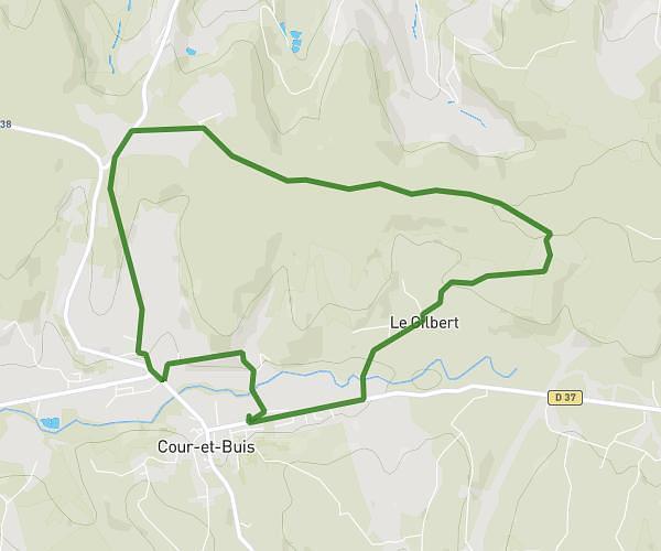
This running route covers 13.126mi starting from Roche, Isère. The run does not return to the trailhead and ends near 457 Avenue Lesdiguières, 38290 La Verpillière, France. This run is rated as strenuous, expect about 2h38m to complete it. The route has an elevation gain of 59ft and an elevation loss of 554ft.
Estelle
Route details
4.97mph
Speed
1811 kcal
Calories burned
Point to point
Route type
778ft
Min altitude
1273ft
Max altitude
Route profile
59ft
Elevation gain
554ft
Elevation loss
778ft
Min altitude
1273ft
Max altitude
How to get there
Trailhead: 68 Chemin De La Croix Châtain, 38090 Roche, France
GPS coordinates of the trailhead: 45.59218, 5.15463 / 45°35'31'' N, 5°9'16'' E