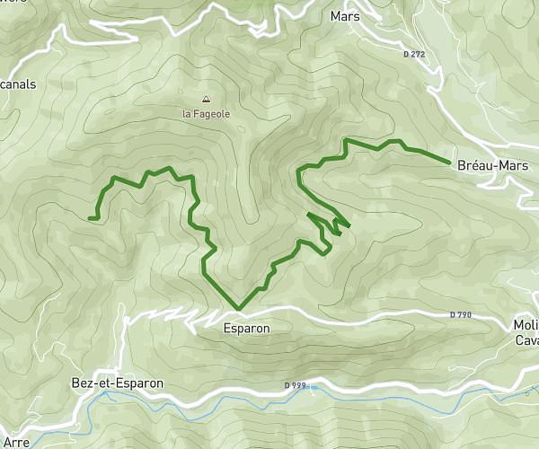
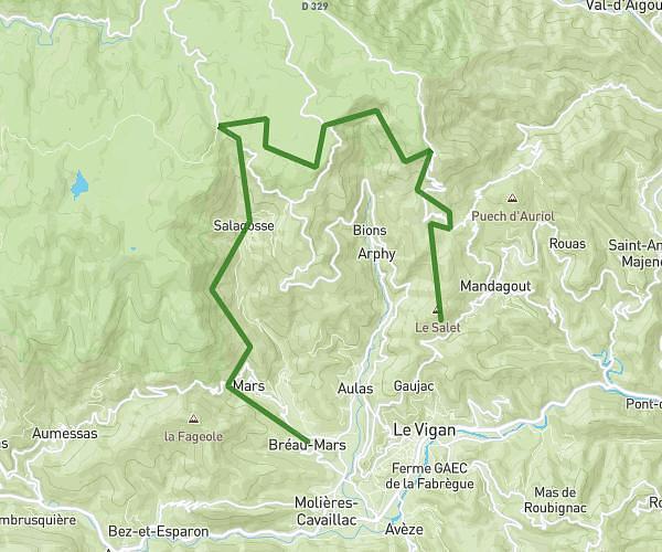
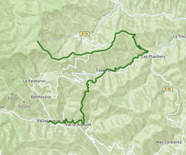
This hiking trail covers 10.021mi starting from Avèze, Gard. The hike does not return to the trailhead and ends near D 130, 34190 Saint-Maurice-Navacelles, France. This hike is rated as strenuous, plan for about 4h1m to complete it. The route has an elevation gain of 2178ft and an elevation loss of 1535ft.
Vigan / navacelle
Route details
2.49mph
Speed
1810 kcal
Calories burned
7.0%
Avg grade
Point to point
Route type
837ft
Min altitude
2205ft
Max altitude
Route profile
2178ft
Elevation gain
1535ft
Elevation loss
837ft
Min altitude
2205ft
Max altitude
How to get there
Trailhead: 6 Lotissement Le Petit Pont, 30120 Avèze, France
GPS coordinates of the trailhead: 43.969091, 3.598988 / 43°58'8'' N, 3°35'56'' E