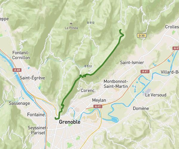
This hiking trail covers 28.256mi starting from Saint-Martin-d'Uriage, Isère. The hike does not return to the trailhead and ends near 16 Rue Jean Jaurès, 38420 Domène, France. This hike is rated as strenuous, plan for about 15h9m to complete it. The route has an elevation gain of 8911ft and an elevation loss of 9446ft.
Boucle Lacs Belledonne

lac de la roche
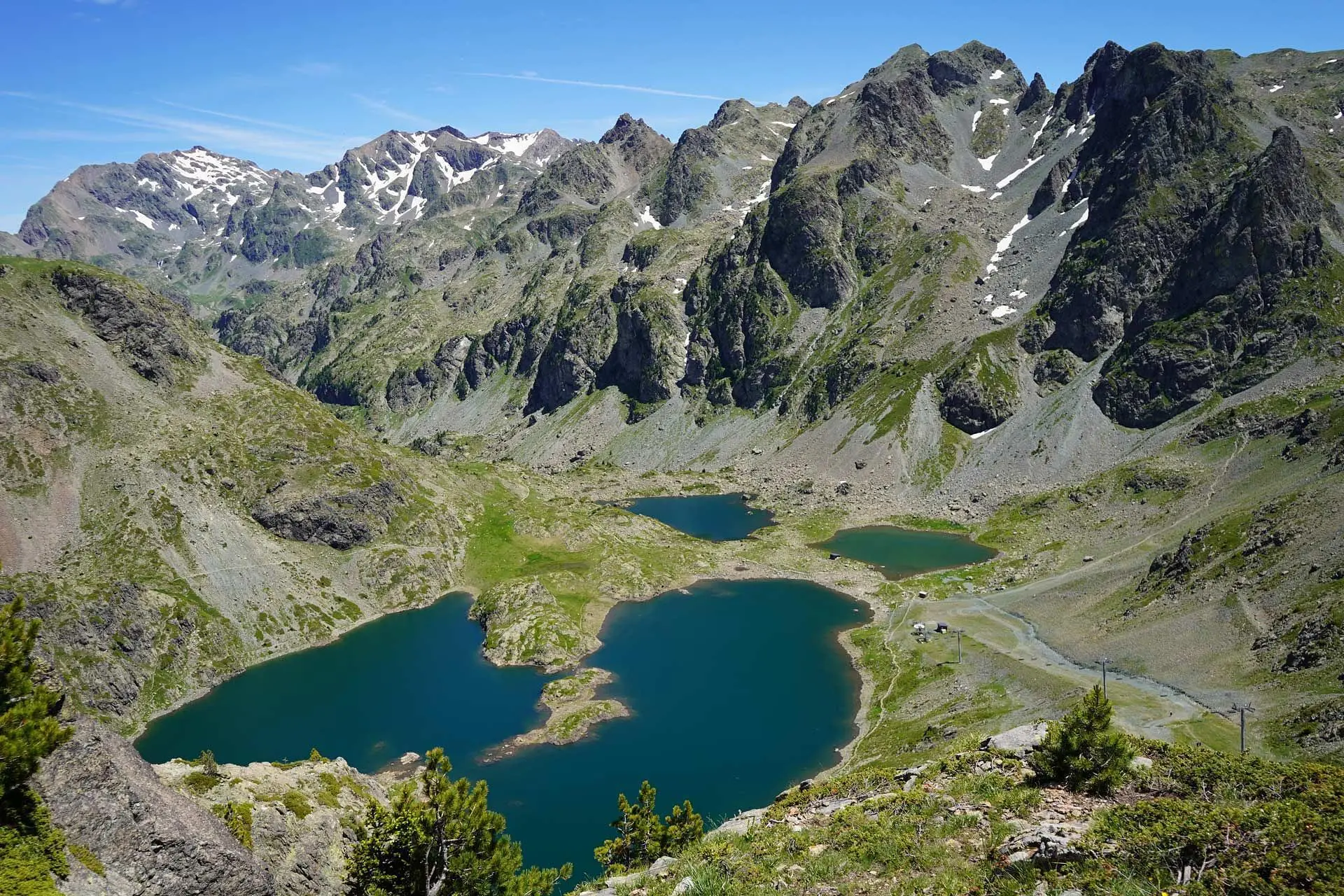
lac robert
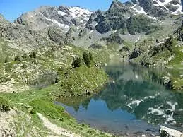
lac longet
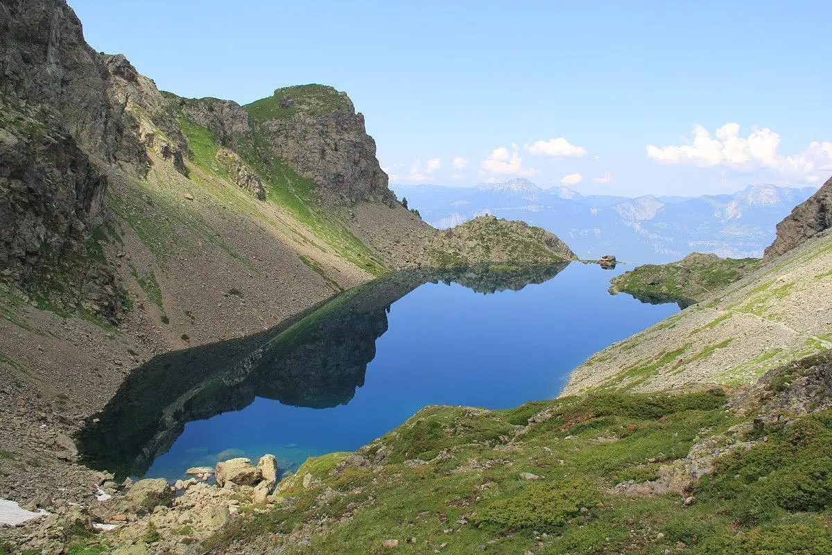
lac du crozet
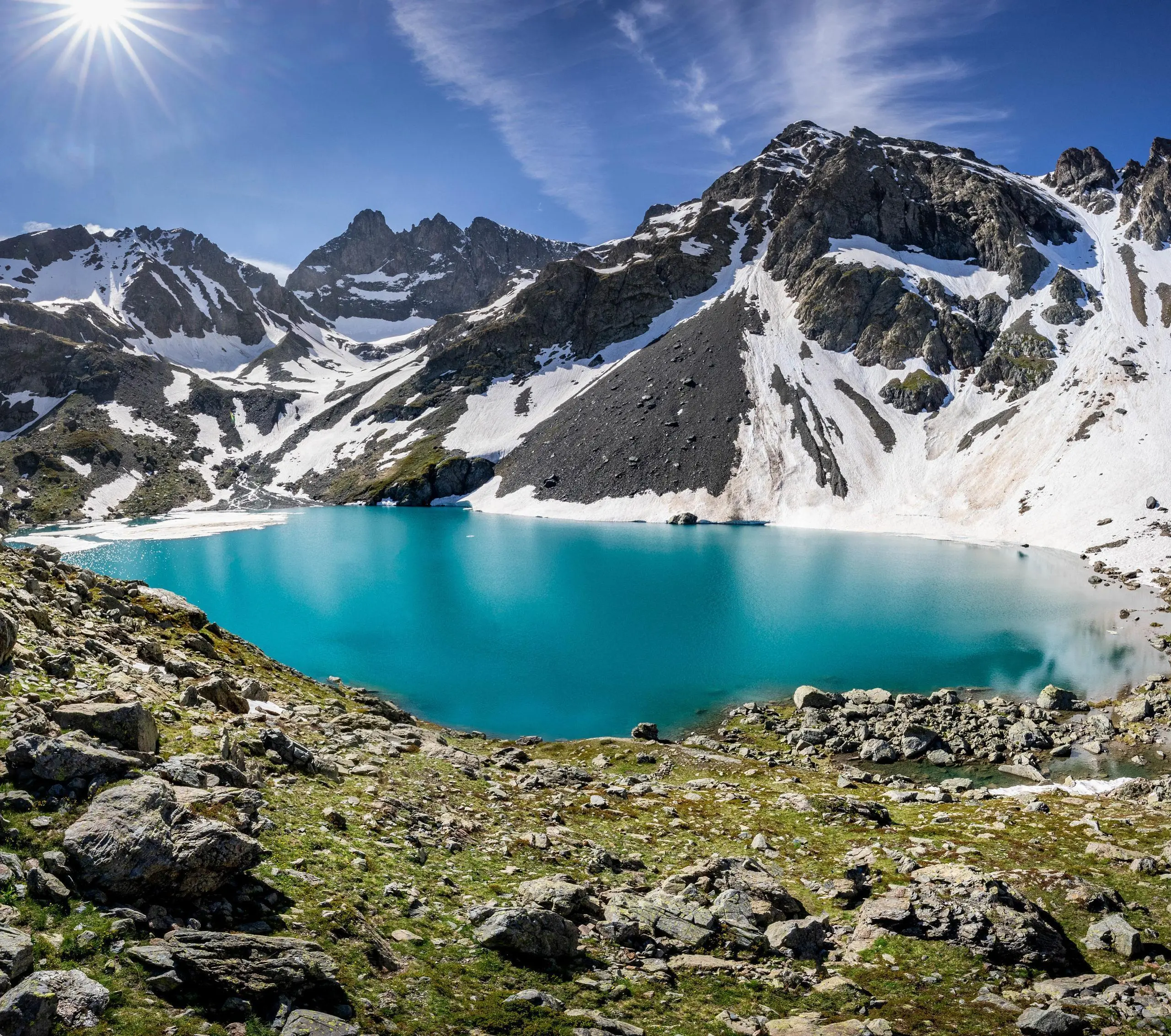
Lac Blanc
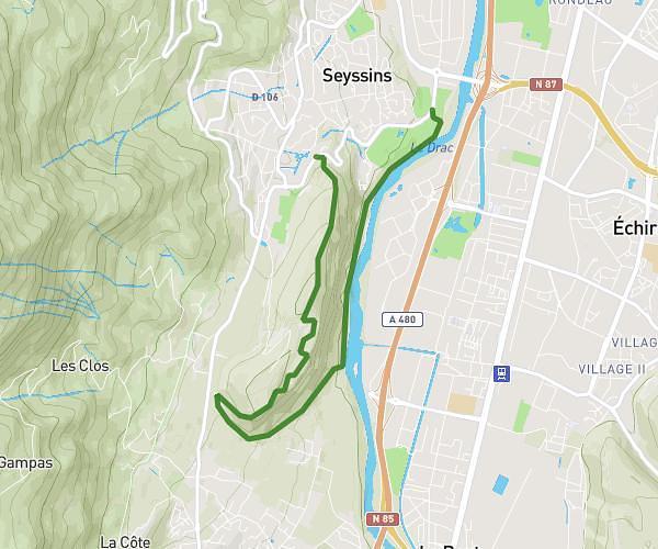
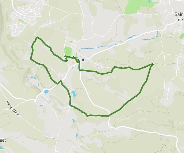
Route details
1.86mph
Speed
7000 kcal
Calories burned
12.3%
Avg grade
Point to point
Route type
807ft
Min altitude
8648ft
Max altitude
High altitude
Steep climb
Route profile
8911ft
Elevation gain
9446ft
Elevation loss
807ft
Min altitude
8648ft
Max altitude
How to get there
Trailhead: 272 Allée Du Jeune Bayard, 38410 Saint-Martin-d'Uriage, France
GPS coordinates of the trailhead: 45.14203, 5.83018 / 45°8'31'' N, 5°49'48'' E