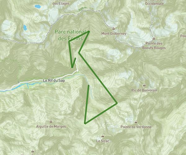
This running route covers 10.1mi starting from Vallouise-Pelvoux, Hautes-Alpes. The run is a loop trail and returns to the trailhead. This run is rated as hard, expect about 7h to complete it. The route has an elevation gain of 2989ft and an elevation loss of 2900ft.
L'eychauda
Route details
1.44mph
Speed
4802 kcal
Calories burned
Loop trail
Route type
5233ft
Min altitude
8222ft
Max altitude
High altitude
Route profile
2989ft
Elevation gain
2900ft
Elevation loss
5233ft
Min altitude
8222ft
Max altitude
How to get there
Trailhead: D 421t, 05340 Vallouise-Pelvoux
GPS coordinates of the trailhead: 44.90161, 6.4929 / 44°54'5'' N, 6°29'34'' E