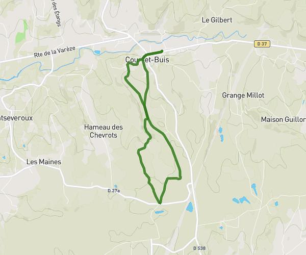
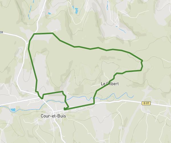
This running route covers 6.539mi starting from Chuzelles, Isère. The run is a loop trail and returns to the trailhead. This run is rated as moderate, expect about 1h3m to complete it. The route has an elevation gain of 584ft and an elevation loss of 591ft.
boucle du 17 juin
Route details
6.23mph
Speed
720 kcal
Calories burned
Loop trail
Route type
699ft
Min altitude
1037ft
Max altitude
Route profile
584ft
Elevation gain
591ft
Elevation loss
699ft
Min altitude
1037ft
Max altitude
How to get there
Trailhead: 552b Chemin De Boussole, 38200 Chuzelles, France
GPS coordinates of the trailhead: 45.56335, 4.86043 / 45°33'48'' N, 4°51'37'' E